Helping Iowans Navigate Land with Confidence
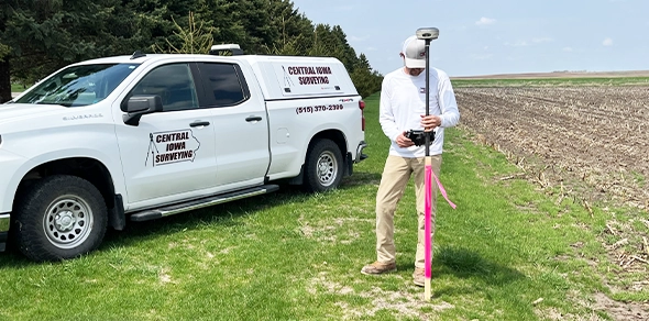
At Central Iowa Surveying, we’re proud to offer a wide range of professional land surveying services to landowners, abstractors, attorneys, other real estate professionals, and builders / contractors throughout the state of Iowa. With over 20 years of local surveying experience and a strong commitment to accuracy and communication, we can help make confident, informed decisions about their land.

Understanding where your property begins and ends is essential – we survey in all town / subdivisions and rural / farm properties throughout Central Iowa. Whether you’re buying an existing platted property, needing a Plat of Survey to create a new parcel, buying an existing home, building a new home, building a fence, or resolving a neighbor dispute we are here to help.

Before construction begins it’s critical to know your structure is properly positioned on your property. We work closely with contractors and landowners to create detailed house layouts / site plans that reflect the location of the proposed new structure in relation to the property and existing building setbacks. These House Layouts / Site Plans are often used when applying for a building permit.

Our RPIRs offer a practical overview after visual examination of existing improvements such as a house on a parcel of real property which is being collateralized to see if the property is materially impaired. These are typically required when a loan exceeds a certain dollar amount.

We have completed numerous Cemetery Additions / Expansions throughout the State of Iowa. We meet with the cemetery owners / board members and plan a lot / block layout that works best for you. Maps of the Addition / Expansion are prepared and block corners are set in the cemetery. Our marking and labeling of the new blocks accompanied with the Map of the Addition / Expansion makes finding any lot a task that anyone involved in the cemetery a task that they can complete.

Topographic surveys provide a detailed look at the natural and manmade features on a property. Using advanced surveying tools, we collect elevation data and locate hills, ditches, trees, buildings, and more. This information is vital for land development, drainage planning, roadwork, or grading designs.

For commercial transactions, lenders and title companies often require ALTA/NSPS surveys to verify a property’s legal boundaries and improvements. We deliver comprehensive, standards-compliant surveys that include easements, rights-of-way, access points, zoning classifications, and encroachments—ensuring all parties are protected before closing.

If your property is in or near a floodplain, we can help. We provide FEMA-compliant Elevation Certificates that may be required for flood insurance or construction permits. We also assist clients with Letters of Map Amendment (LOMA) to remove properties from flood zone designations when appropriate—potentially lowering insurance premiums.

Whether you’re adjusting a boundary, splitting land, or recording a new lot, a Plat of Survey is a crucial legal document. We produce accurate plats that can be submitted to counties and municipalities for approvals, filings, and permit applications. Our clear, professional documentation meets state and local requirements.